Port of Brownsville, Brownsville Ship Channel
more pictures
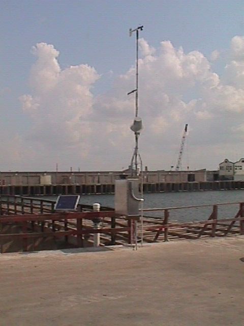
Station Name:
Port of Brownsville, Brownsville Ship Channel
DNR ID:
118
Location:
25° 57' 3" N, 97° 24' 8" W
Established Date:
Jun 2002 (23 Years 11 Months)
NOAA Chart:
11301
USGS Quad:
East Brownsville
Notes:
This station has been installed temporarily for the collection of water level data and updating tidal datums in this area, the station will be removed in June 2012.


 Texas A&M University-Corpus Christi